


You may also like
-
Ancient map of London Poster
Friedrich Arnold Brockhaus · 1899 · Detailed London map poster tracing the Thames and street grid in muted tones
Poster from €9 · Framed from €16
Regular price From €6,00Regular price -
Ancient map of Paris Poster
Friedrich Arnold Brockhaus · 1894 · Detailed Paris city map vintage print with blue Seine and red boundaries
Poster from €9 · Framed from €16
Regular price From €6,00Regular price -
Earth poles Poster
Friedrich Arnold Brockhaus · 1897 · Detailed polar regions vintage print with blue seas and precise black map lines
Poster from €9 · Framed from €16
Regular price From €6,00Regular price -
Paris Ses Monuments Poster
Borremans, F · 1924 · Illustrated Paris monuments poster featuring a central city map and landmark scenes
Poster from €9 · Framed from €16
Regular price From €6,00Regular price


-

"Very nice Posters. The quality is amazing and we received it very quickly !"
-

"A shop to visit absolutely. Huge selection of posters. We spent more than an hour there !"
-

"Perfect to find gift. Price are very good. An they can frame and pack it on site"


About the Artist
Friedrich Arnold Brockhaus was a German publisher whose name became synonymous with scholarly reference works in Leipzig, particularly encyclopedias, atlases, and educational plates. The Brockhaus imprint, even after his lifetime, remained a hallmark of meticulous research and clarity, valued by academics, students, and travelers throughout the nineteenth century.
This 1883 map print is a product of that era's dedication to accessible knowledge, when cartography bridged the gap between scholarship and daily life, offering both educational value and decorative appeal for the cultivated home or study.
The Artwork
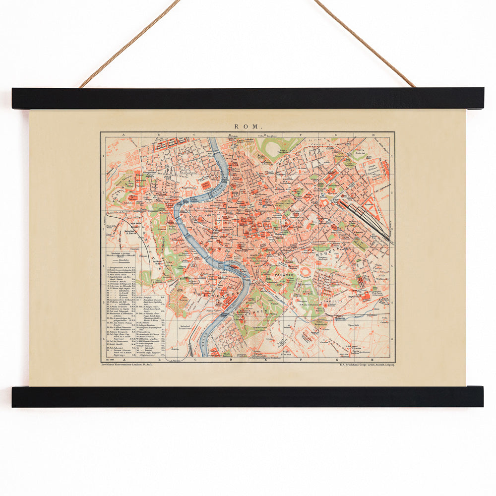
Ancient Rome captured the imagination of nineteenth-century Europe, serving as a touchstone for legal, architectural, and civic ideals. Maps such as this were designed to bring the city’s legendary layout to life, translating archaeological discoveries and classical sources into a coherent visual plan. This approach allowed viewers to trace the connections between Rome’s neighborhoods, monuments, and thoroughfares, fostering a deeper appreciation for its enduring legacy.
Produced during a period when classical education and archaeological interest were at their peak, this map reflects the desire to make the grandeur of the Eternal City tangible and understandable in everyday settings.
Style & Characteristics
The map is characterized by its precise linework and dense, legible labeling, inviting close inspection. A pale, archival paper tone sets a refined backdrop, while selective use of color—blue for waterways, red for boundaries, and green for certain areas—organizes the complex cityscape and guides the viewer’s eye.
This harmonious palette and methodical layout distinguish it among vintage map prints, making it an elegant addition to a gallery wall or study. For those drawn to subtle hues, it also complements beige wall art and can be paired with blue accents for a cohesive interior scheme.
In Interior Design
This Rome map vintage print lends a sense of history and intellectual depth to offices, libraries, hallways, or living rooms. Its structured composition pairs well with classic materials like wood, leather, and stone, but it can also serve as a striking focal point in contemporary spaces.
To create a unified look, echo the map’s neutral tones and subtle colors throughout the room, and choose a simple frame for a timeless, museum-quality presentation.